This year’s I/O conference, back in May, was full of announcements concerning AI and machine learning advancements. Google Maps was one of the applications to leverage much of this by implementing features that push the envelope and make the experience more helpful and fun to use.
One of these announcements was a preview of “Immersive View,” a Maps experience that pairs AI with billions of high-definition Street View, satellite, and aerial imagery. Now, we can see the beginnings of this with the addition of photorealistic aerial views of iconic landmarks. These views mimic a “flyover” and let you get up close so you can determine if this is a place you want to visit. This is available in Google Maps when you search for a landmark and head to the Photos section. For now, this will only be available in Barcelona, London, New York, San Francisco, and Tokyo, but hopefully also available in more places soon.

For those that prefer to bike to their destination, Google Maps also provides bike directions and has been doing so for over 12 years. This data comes from AI combined with city data, cartographic partners, and community feedback. However, with a new update and upcoming data, Maps can provide users with bike route comparisons and more specific data. Additionally, you will now be able to see a route’s elevation, traffic, stairs, and steep hills and tell if you’re biking on a major road or a local street.
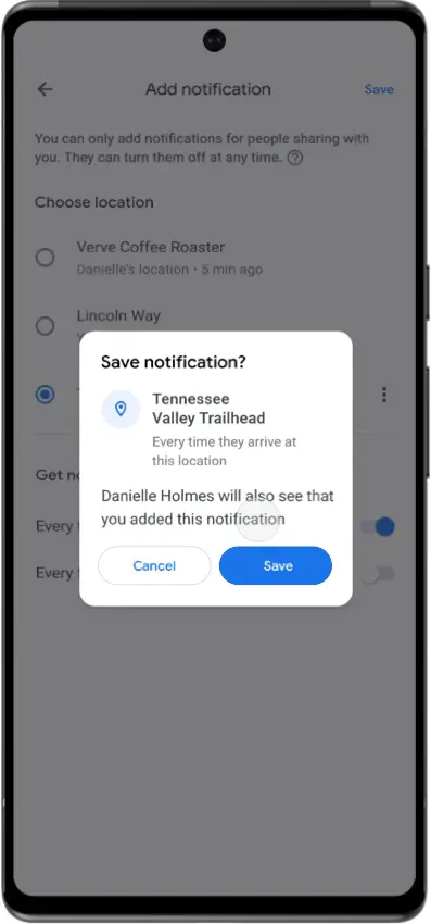
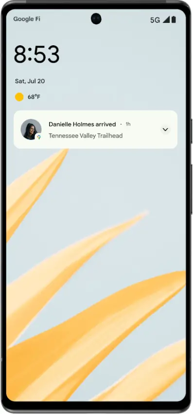
Finally, Maps focuses on safety and privacy with a new feature that will allow you to get a notification when a friend or loved one, who has already chosen to share their location with you, arrives at a specified location. This can be very helpful when safety is a concern, and you want the piece of mind to know that your loved one has made it.
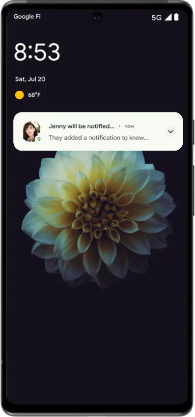
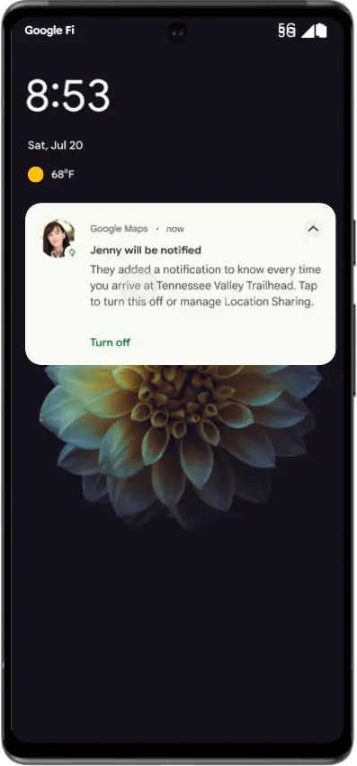
To ensure that this feature isn’t abused, besides only working for someone who has already chosen to share their location with you, the person whose location was disclosed will receive a push notification in the Maps app, an initial email, and monthly reminder emails about it. These notifications and location sharing can also be stopped or blocked at any time, so there’s always mutual knowledge that tracking is in place.


Aerial views of landmarks and location sharing notifications are now available internationally on Google Maps for Android, iOS, and desktop, with cycling route information coming soon in the hundreds of locations where cycling instructions are accessible. This gets us one step closer to the mouth-dropping full immersive view we were treated to at I/O, and I cannot wait.
Join Chrome Unboxed Plus
Introducing Chrome Unboxed Plus – our revamped membership community. Join today at just $2 / month to get access to our private Discord, exclusive giveaways, AMAs, an ad-free website, ad-free podcast experience and more.
Plus Monthly
$2/mo. after 7-day free trial
Pay monthly to support our independent coverage and get access to exclusive benefits.
Plus Annual
$20/yr. after 7-day free trial
Pay yearly to support our independent coverage and get access to exclusive benefits.
Our newsletters are also a great way to get connected. Subscribe here!
Click here to learn more and for membership FAQ

