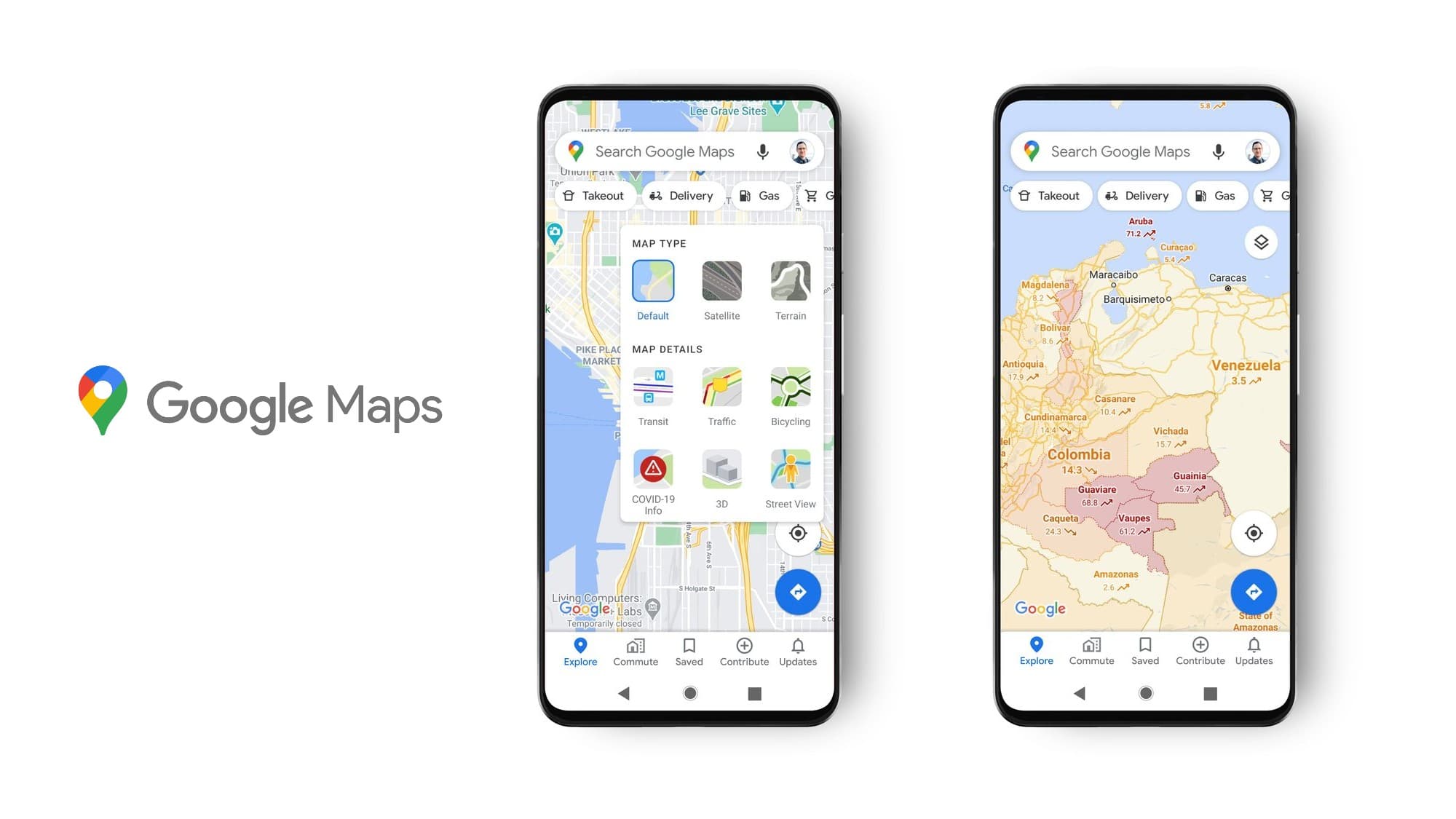
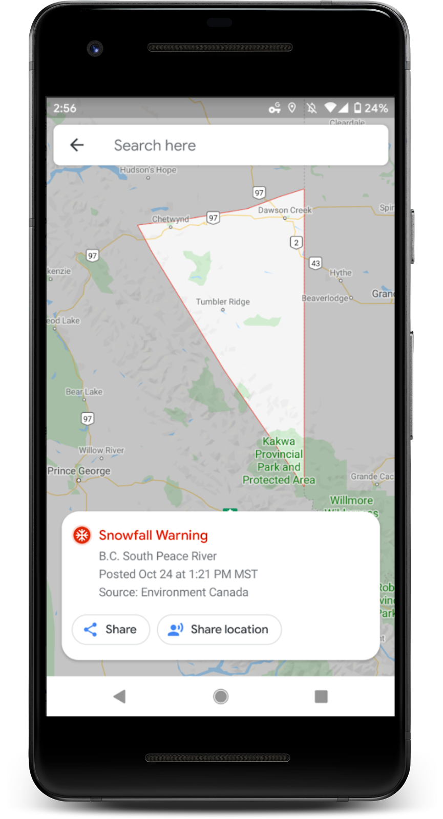
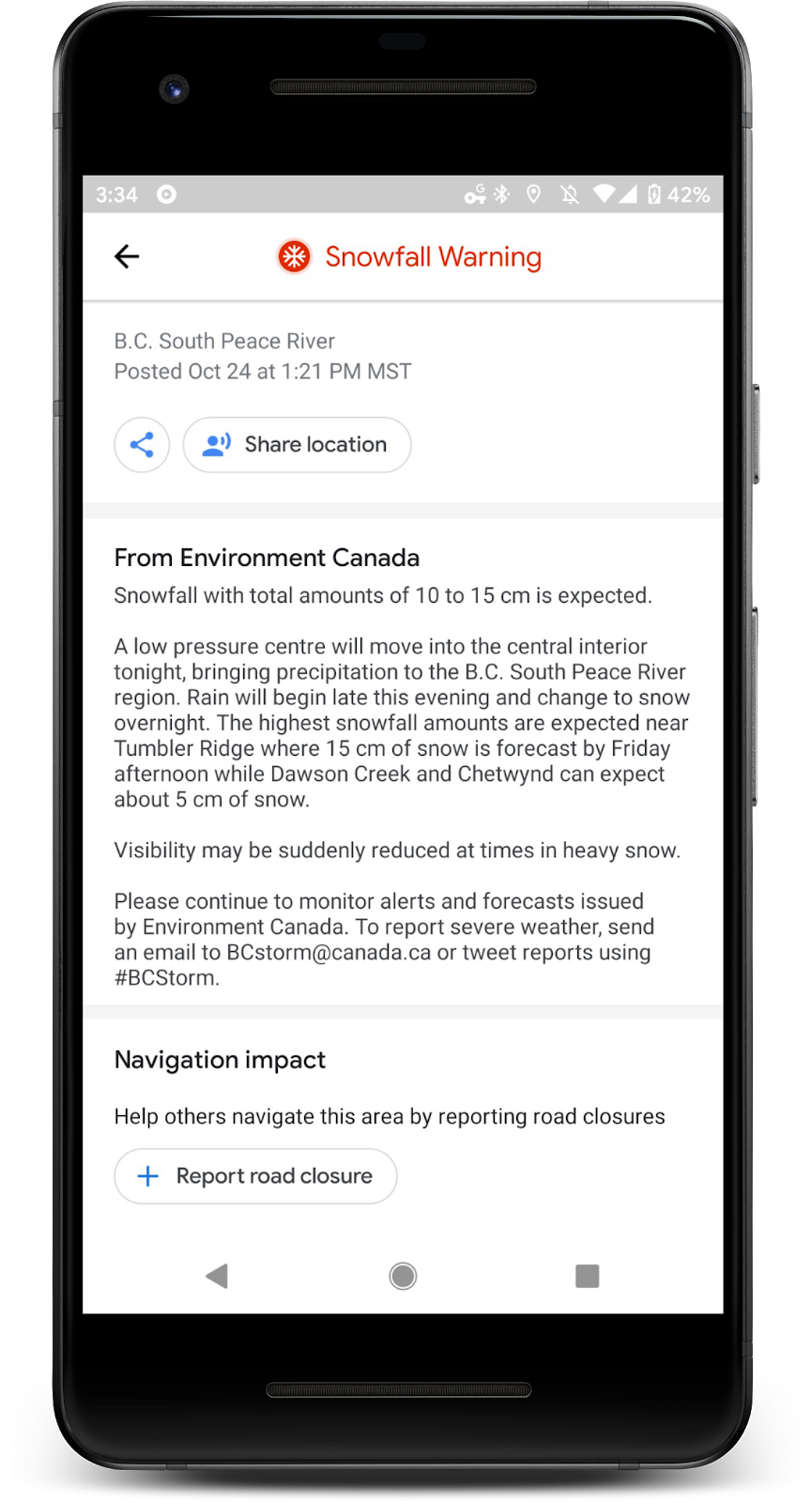
This news won’t go ever well with everyone, but Google’s official standalone Crisis Map is shutting down. It provided national and regional-scale layers related to weather, hazards, and emergency preparedness and response, mostly for the US. However, many of the important features of the service have been baked into Google Maps and Search over the past few years. For example, Public Alerts can be pulled up directly in either for local weather warnings like snowfall, hurricanes, and more.
Beginning on March 31st, the Crisis Map will no longer be available. Instead, Google will continue to pour into a “broader suite of Crisis Response features and map creation tools” likely in the form of My Maps, Google Earth for web, Earth Pro, and the Maps Platform as well as Search. If you currently have any crisis-related data like the location of hazards or temporary shelter that you want to visualize on a map, you’ll need to use the tools above as a replacement.

Your custom-created publicly published Crisis Maps will also stop working, including any embeds and links. Of course, that data isn’t sourced from the Crisis Map itself, so they won’t be affected. If you want to preserve any data from these maps (layer names, descriptions, data URLs, etc), you’ll need to copy them over to another platform manually before the switch is thrown to kill the Crisis Map platform.
Are there any features that are missing from Google Maps or Search that Crisis Map provided to you? Do you feel as though Google is jumping the gun early on this, or do you think they have innovated enough with these modern tools to justify the shutdown? I wish that I didn’t need to search Maps for “Hurricane” in order to see one. When they make an existing crisis show on the map without the user needing to manually hunt it down, then I think it will be a worthy alternative. Map creators and data curators may feel different though.
Newsletter Signup

Leave a Reply
You must be logged in to post a comment.